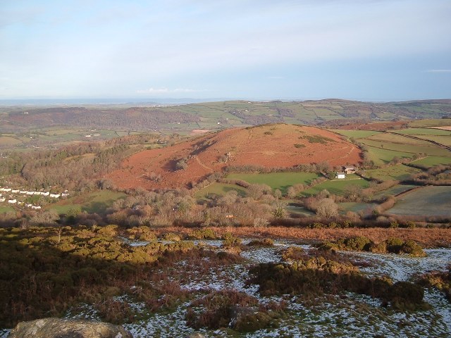
Nattadon Common from Meldon Hill. © Copyright Mark Land and licensed for reuse under this Creative Commons Licence.
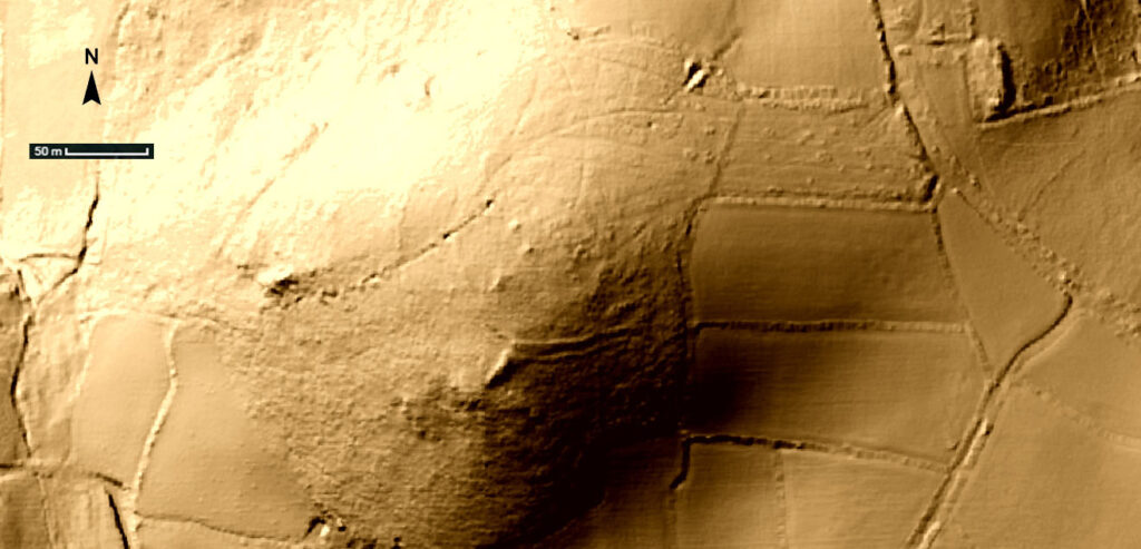
Lidar image of Natterdon Common fort (see Google Maps link to compare to aerial photogrpahy).
From English Heritage:
On the top of Nattadon are the remians of what is thought to be a partially complete Iron Age hillfort. The earthwork evidence hints at two unfinished (and potentially concentric) enclosure banks, perhaps overlying a fragment of an earlier field system. The outer circuit around the west side of the hill has a scarp bank with a terrace below it, the former little more than 1.0 metre high, the latter about 3.0 meters wide. Its south terminal fades out, its north one is interrupted by a line of fossicking pits. There are faint traces on the east of a scarp curving round, but whether this is an extension of the same circuit or part of a system of low lynchets seen elsewhere on the hillside is debatable.
The inner circuit shows as a low bank around the east side of summit. It is interrupted in places and elsewhere is barely visible, being clearer on the aerial photograph than on the ground. A very low field bank running up from the south appears to be interrupted by the outer scarp bank.
The earthworks may represent a hill-top site abandoned at a very early stage of construction, but it may also be that the circuits are no more than eroded enclosure banks that follow the contour and are associated with early farming activity.
The unfinished hillfort appears to have been constructed upon a pre-existing field system covering around 12.0 hectares, although it must have been extended much further and the modern field banks forming the east and southwest boundaries of Natterdon Common are probably based upon pre-historic alignment; more details here.
There are also recorded finds of Neolithic flints including 5 leaf-shaped and one hollow-based arrowheads, and scrapers here.
External links: